This week marks National Work Zone Awareness Week (NWZAW) across the United States. NWZAW is an annu...
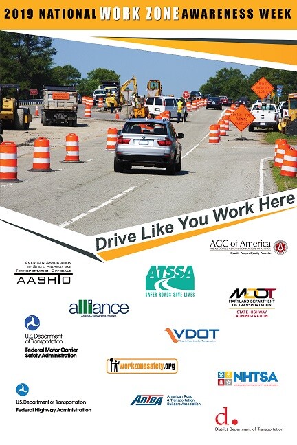
This week marks National Work Zone Awareness Week (NWZAW) across the United States. NWZAW is an annu...
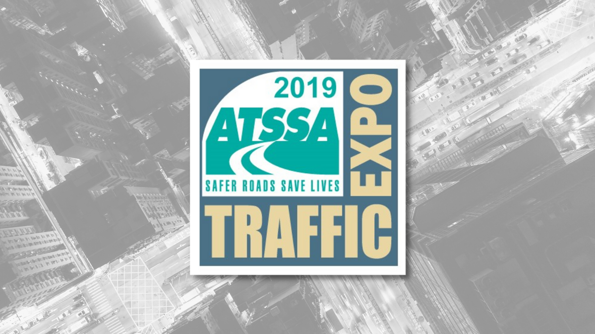
ATTSA’s 49th Annual Convention and Traffic Expo marked the 16th year Invarion has exhibited at the e...
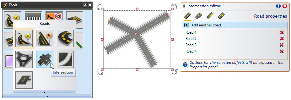
The Intersections Editor tool can be used to create complex intersections with just a few mouse clic...

What’s new in this update? Intersections Editor: Create complex intersections with just a few mouse ...
What’s new in this update? Print Frames and In-Place Print Preview: Frames allow drawing titleboxes ...
In georeferenced images, actual image data – typically maps or aerial photos – is accompanied by geo...